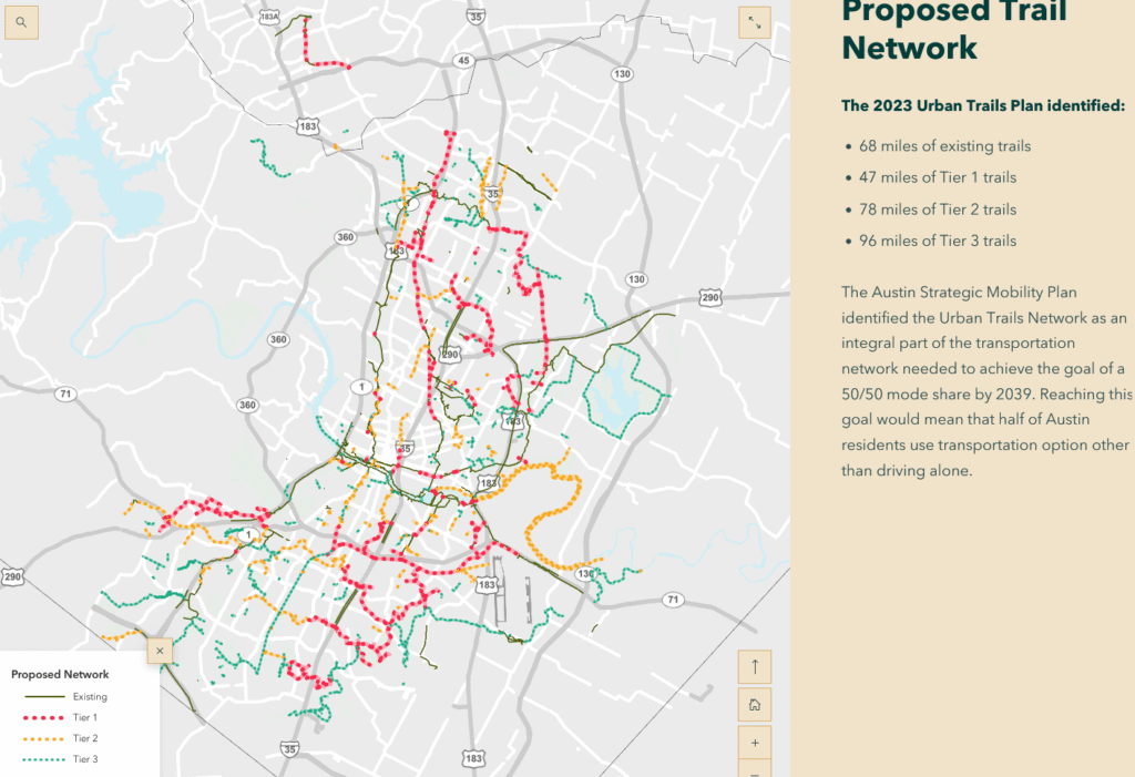
The State of Austin’s Pedestrian Infrastructure 2025
Earlier this year I trained to walk the Megamarsch Hamburg, an endurance event in Germany where I walked 100km in 24 hours. I wrote a blog post about that which you can read on this very site. In the process of training for this absurdly long walk, I practiced by making a series of four day-long urban hikes around Austin, adding up to about 125 total miles. I’d like to use these walks to talk a bit about the city’s burgeoning urban trail system, where it succeeds and where it fails. When I first moved to Austin about twenty-five years ago, there was hardly anything in the way of hike and bike infrastructure. But here in the year of our lord 2025, I was able to hike for four days straight and do at least 80% of that on established urban trails, with only a couple of sections of terrifying pedestrian-threatening traffic.
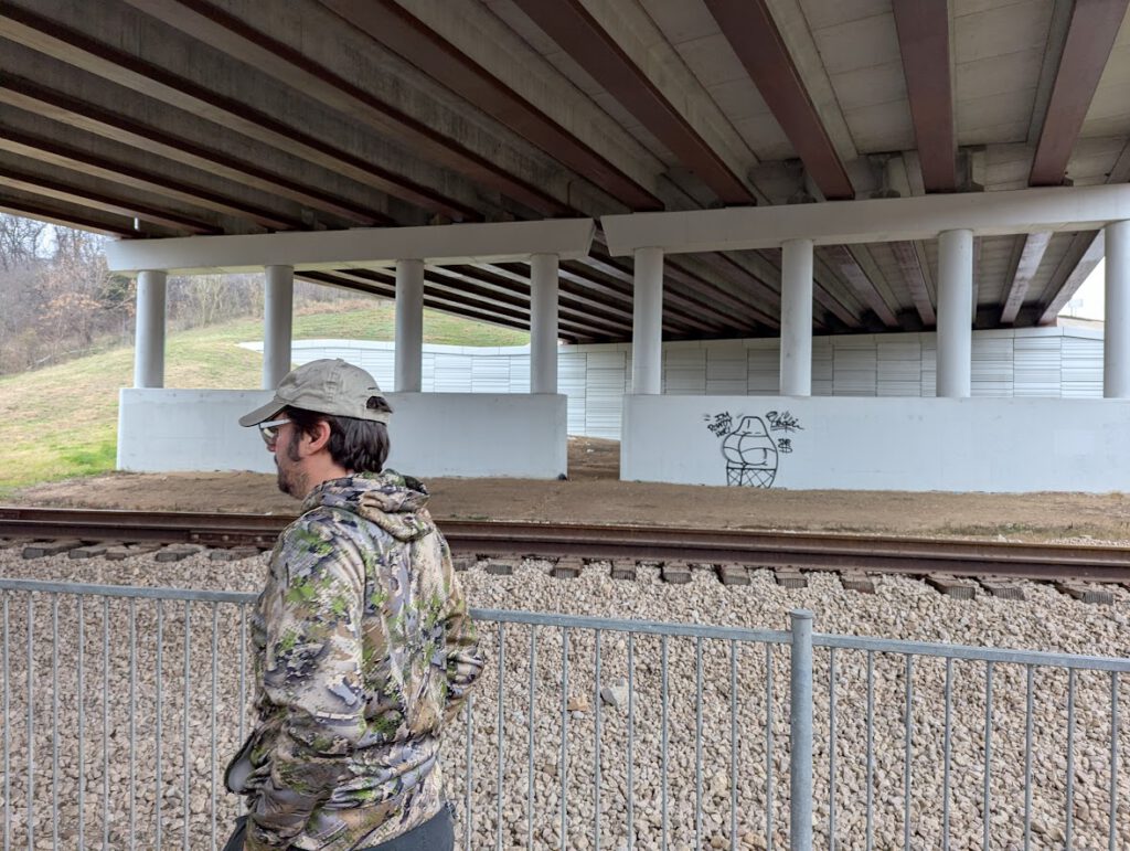
So this blog post is a tribute to all of the community groups, city employees, and various concerned citizens who’ve made the Austin Urban Trail system a thing. However, if there’s a cohesive, up to date map of the Austin Urban Trail system, I haven’t found it. Each trail project has its own page with a form for public input and a series of project timetables, but it’s very hard to figure out what’s actually built. It’s also hard to delineate the difference between a road which is passable for a human, and what will get you run over. I’ll point out the death-defying stretches of road that I found so far in this post.
I’d recommend trying your hand at some very long walks around Austin. For the most part, I found this project enjoyable and rewarding. I’ve been biking around Austin for 25 years or so, so I feel that I know the back streets and back neighborhoods pretty well. A few times I recalled having biked through a neighborhood, but for the life of me couldn’t remember what reason I had to bike so far out from the city center. But even with those years of exploration, I saw a lot of new territory. In far south Austin in particular there’s a vast hinterland of undiscovered greenways to ramble through. It may sound maudlin, but these walks cemented my attachment to this city and showed me her best side. We talk a lot about the divide between Old Austin and New Austin, but the trails are a part of New Austin which bring out everything that was good about the old, the intimate neighborhoods and the passages through the sprawling parks.
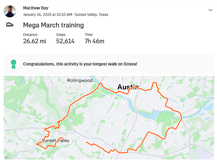
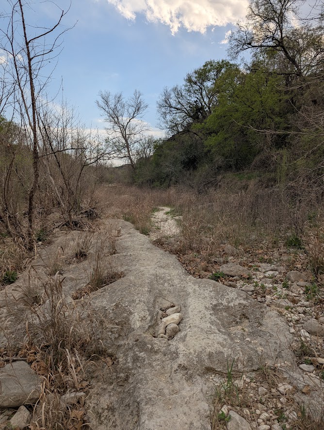
The South Loop – 25 Miles, Sunset Valley Greenbelt, MoPac Bike Path, Lady Bird Lake Trail, Montopolis Pedestrian Bridge, Mabel Davis Park
I started off my first Megamarsch practice walk with a cocky attitude. I’d already signed up for the event and bought plane tickets. I was fully committed and I still thought it would be easy. Walking is easy, right?
I made myself a route using Google’s MyMaps. Basically I would zoom into the map of Austin, picking out the green patches and the dotted lines which represented walking trails and drew walking routes onto each layer. One the one hand it’s amazing that these trails exist in the Google data sphere at all, on the other hand, there are big gaps in these maps.
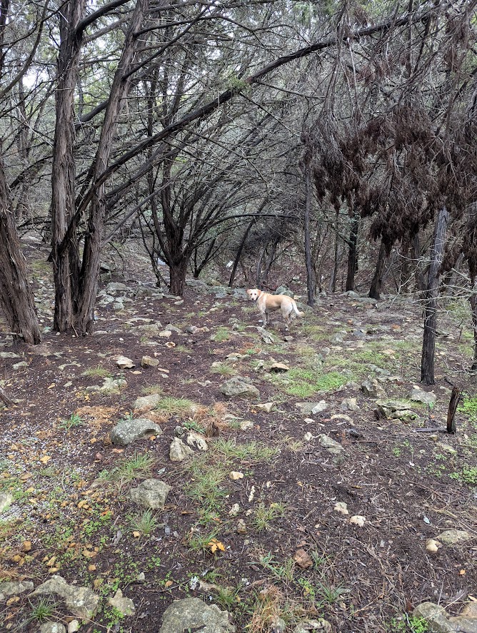
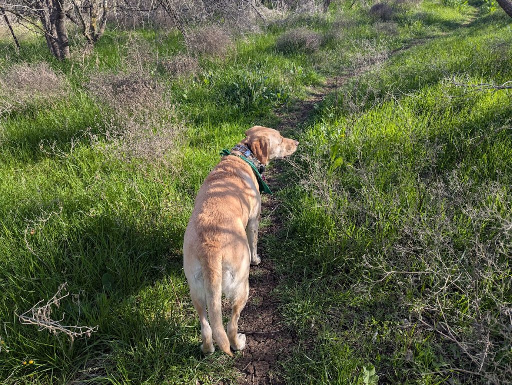
It was early in January on a cold and drizzly day. My plan was to drive to Sunset Valley early in the morning and then walk the fourteen or so miles to get home, drop off the dog, and complete the 12 additional miles of the loop to get back to the truck. This way I would have a tired (but not deathly tired) dog, and an incentive to do the whole route (getting back to my truck before the ‘city’ of Sunset Valley confiscated it).
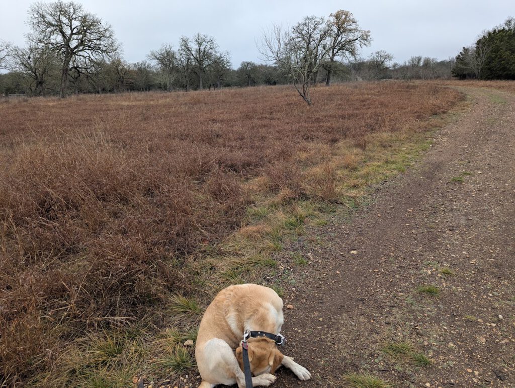
Sunset Valley had a startlingly large greenbelt area with lots of open fields, trails and signage. Although I only saw one other person on the trails, I kept the dog on the leash, because the municipal body of Sunset Valley funds itself in part by ticketing out-of-towners. Our route took us behind the Sunset Valley governmental buildings, through the Cougar Creek Greenbelt, and then through the Sunset Valley Nature Area along Williamson Creek. I don’t recall crossing the creek, so it must not have had any water in it worth mentioning.
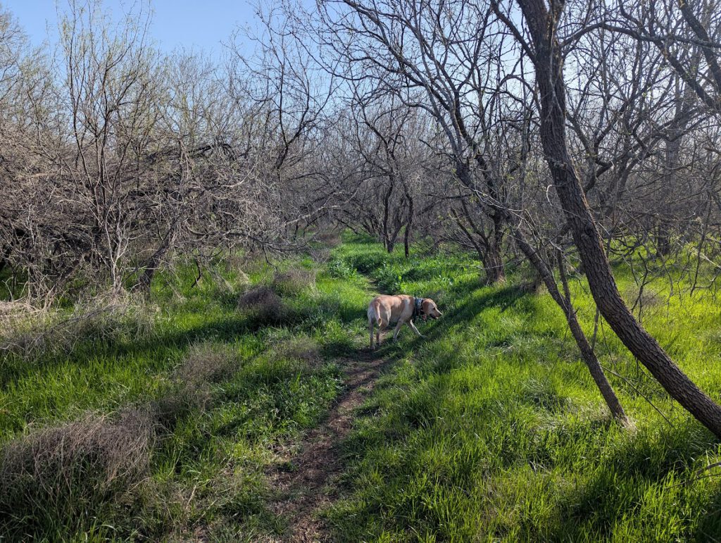
I had to leave green space to cross Brody, and when I got to MoPac, I realized that the Google-provided walking directions had me walking on a frontage road that had no sidewalk or shoulder. In fact, the frontage road with its 50mph traffic necked down at a creek bridge with no more than five inches of clearance between the traffic lane and the bridge railing. Clearly not survivable. Luckily, there was a perfectly lovely route that was part of the Violet Crown Trail. This traveled along Williamson Creek and through the Indian Grass Prairie Preserve before vomiting out into the anti-scenic Home Depot parking lot.
Walking from the Home Depot to the intersection of 290 and MoPac had all the charm of a Dallas suburb: strip malls, treeless parking lots, big-box stores, and fast food drive-throughs. The area was designed so that people could walk through it, but only from their parking space to the nearest retail opportunity. There were sidewalks, but it quickly became clear that they weren’t continuous, and there was no plan for a pedestrian to cross from one side of the MoPac/290 exchange to the other. People had trampled down paths beneath the overpasses, but there were no crosswalks connecting them. By carefully watching the traffic lights and darting across the frontage roads, pulling the dog with me, I was able to cross. Not safely, but successfully in the broadest sense.
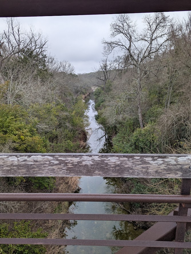
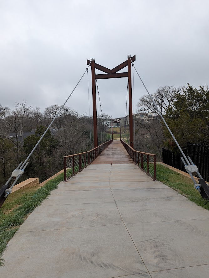
My goal for this section was to cross the Barton Creek Greenbelt on the pedestrian bridge that parallels the MoPac bridge. I’ve seen this bridge many times, either crossing in a car on MoPac and looking down at the creek valley (as one does, instead of paying proper attention to the road) or walking along the greenbelt path and looking up. As it happens, it’s not actually possible to walk to this pedestrian bridge from Brodie Lane. The entrance to the bridge is quite a ways north of the shopping centers and the frontage road leading to it has no sidewalk. It’s just road. Leading to a pedestrian bridge. Think about that for a moment.
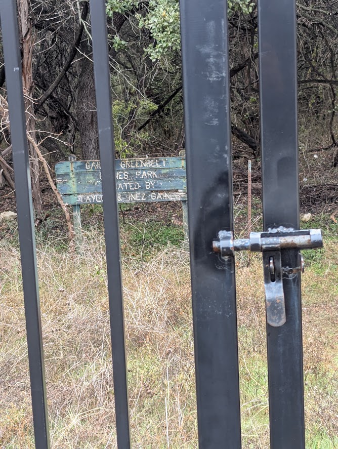
I went as far as I could along the frontage road, but the sidewalks and even the shoulders ended at the shopping center parking lots. So I found this sketchy gate in the iron fence next to the road. And I went through into a trackless woods.
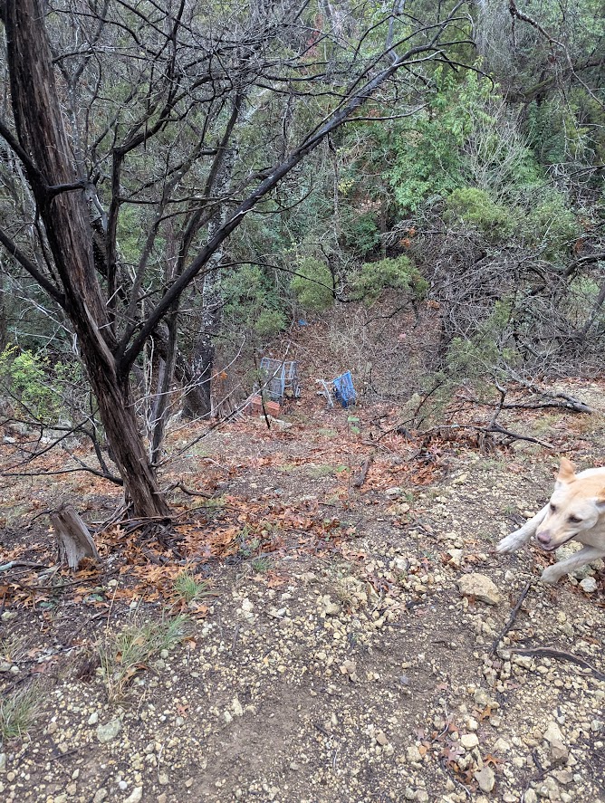
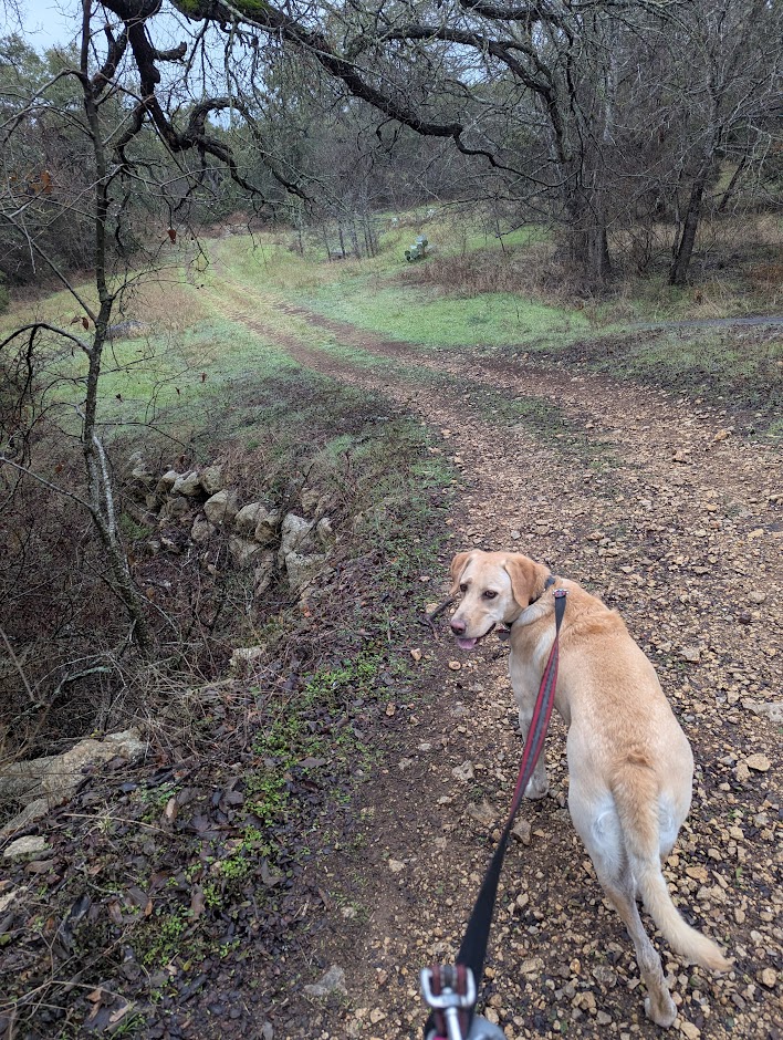
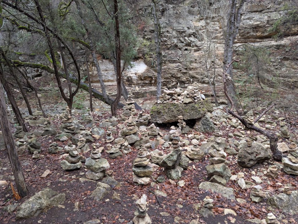
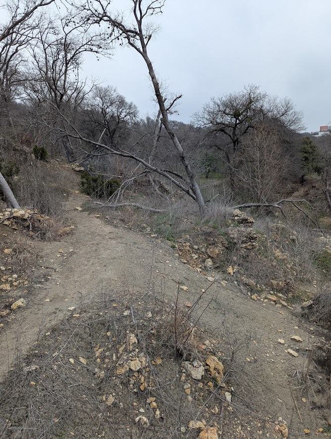
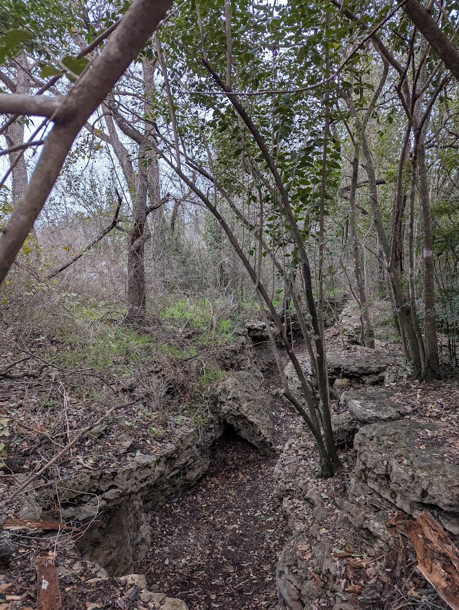
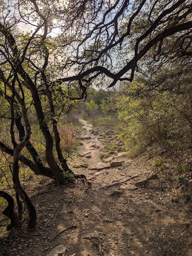
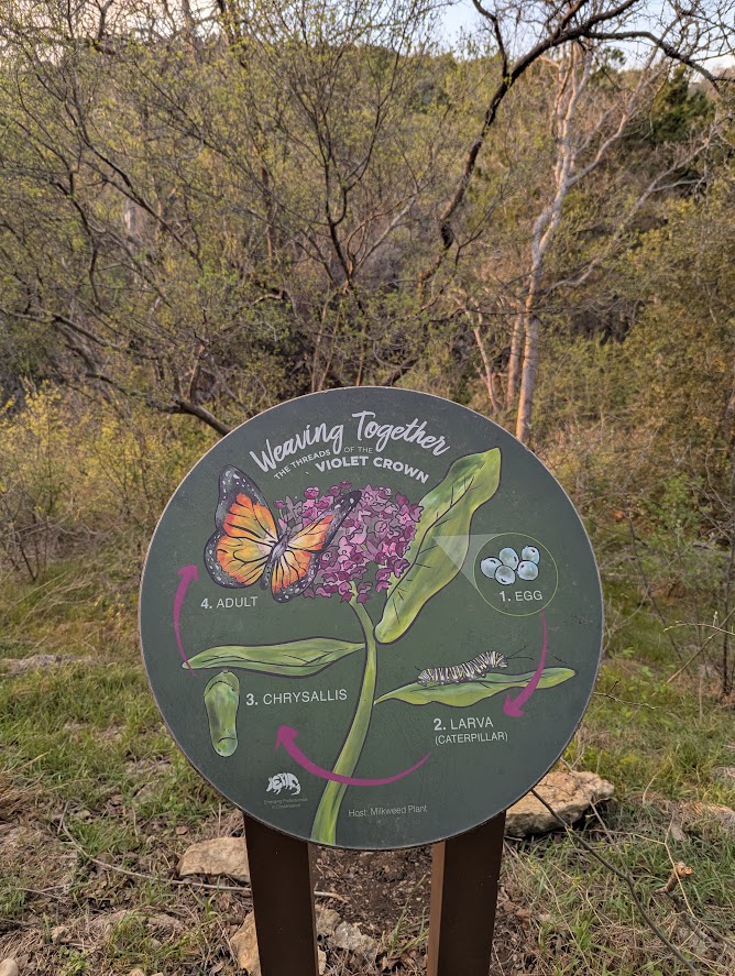
I probably only had to walk about a quarter mile through brush and brambles before finding something that looked like a path. If you compare my planned route to the actual route, you will find quite a lot of squiggles in this area. But it was a delightful detour! I’d seen the steep canyon which branched off from the main valley of Barton Creek many times as I crossed MoPac. I’d wondered what it was like, and it turns out to be a scenic trail filled with surprises like a garden of hippie rock piles. This path turns out to be a segment of the Violet Crown Trail, which I will cover again in the third walk.
There was no way to access the entrance to the pedestrian bridge without first descending to Barton Creek, then re-ascending the rim of the valley. Which sorta belies the whole point of a bridge if you have to actually cross the thing the bridge is supposed to be crossing to get to the bridge.
I saw several people using the bridge, both on bikes and on foot, but didn’t ask them how they got there. They may have come from the housing complex on the southwest side, which itself is an unreachable bike/pedestrian island. The view from the bridge was pretty good though, I highly recommend enjoying it at the less than 65mph speeds of MoPac.
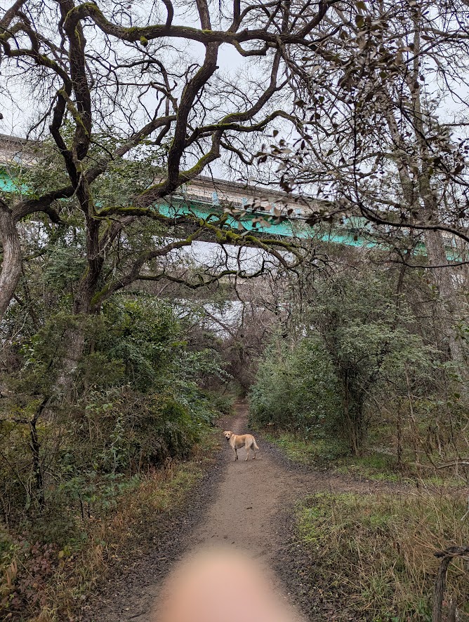
Once on the bridge, the paths north were pretty continuous. There’s a fun pedestrian bridge over 360, and then it connects to a very wide sidewalk/path which continues all the way to the lake. It’s a fairly dull walk, but very manageable, with surprisingly little cross traffic. I’d talked to my boss about the prospect of him commuting downtown from Circle C on his ebike, and other than the complete disassociation of pedestrian/bike connections where the highways intersect, I think it could be done.
I scratched my original plan to cut through Zilker, and instead crossed the lake on the highly trafficked MoPac pedestrian bridge that makes the west end of the Butler Hike and Bike Trail. I took the Lady Bird trail to downtown, where I jogged up to a section of the Lance Armstrong Bikeway, and then zigzagged through the continuously sidewalked streets to get home.
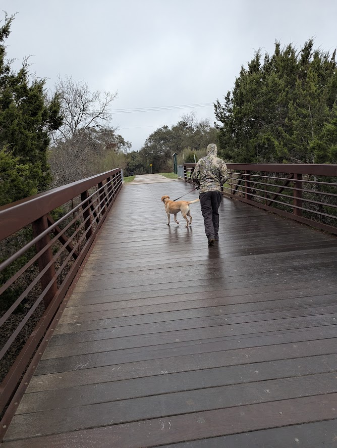
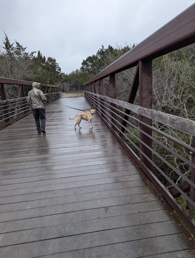
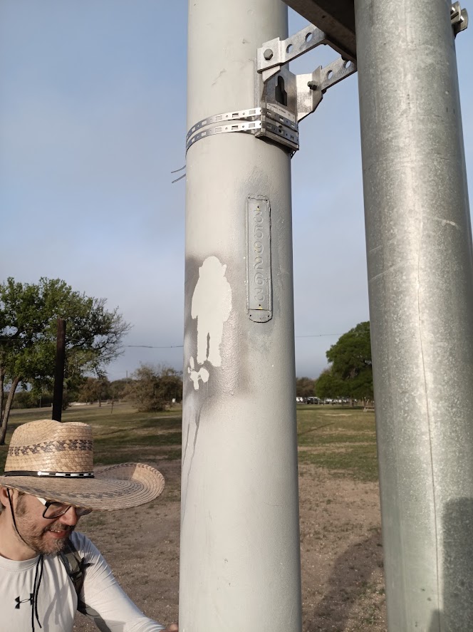
Dropping the dog off, I then continued through East Austin, crossing the river at the Montopolis pedestrian bridge. I took the time as I crossed to read every single one of the informational placards. The rest of the walk was a race against time, because I promised to get home around seven for dinner. My path through South Austin was mostly through unremarkable and very busy streets. Although it does bear mentioning the fun little bike path cut through at the end of Pleasant Valley that connects to Burleson.
Before I got to where I parked in Sunset Valley, I ran out of time and had to do the last section on a rental scooter.
The Long North Loop – 35 Miles, Walnut Creek Trail, Southern Walnut Creek Hike and Bike Trail, Boggy Creek Greenbelt, Shoal Creek Trail
I had a more ambitious plan for my second route, a 35-mile loop around the north side of Austin, incorporating some of the longest and most acclaimed hike and bike paths in town. And it’s here that the envisioned “Big Loop” of trails connecting the Shoal Creek and Walnut Creek systems falls the shortest from the vision.
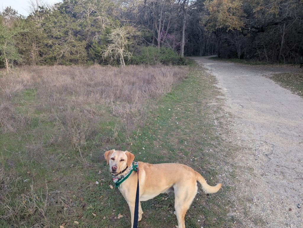
This time I brought with not only the dog, but a friend who was game for some endurance training.
We started out at Balcones District Park in a part of Northwest Austin which had been the end of the world until The Domain opened up just across the highway. A wide and easy hike and bike trail meandered out of the park, crossed beneath MoPac, and linked up to the reasonably large forest of Walnut Creek Park.
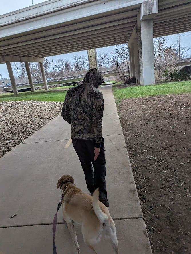
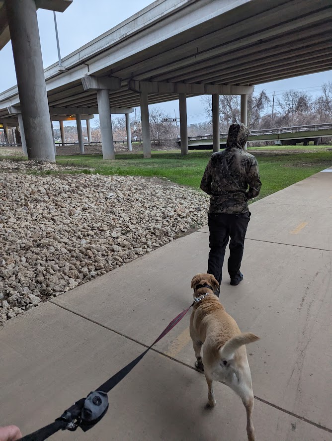
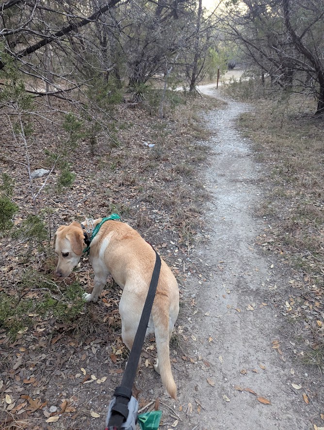
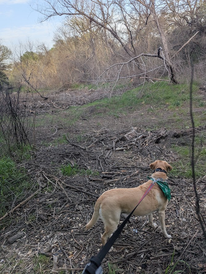
With a drizzle and freezing temperatures, we had to shuffle over slippery bridges. The dog skittered, but didn’t fall. Once we’d crossed over into the Walnut Creek Park offleash area, I unclipped Rosy and let her run about. Despite the early hour, she still managed to meet a couple of other dogs to be friends with her.
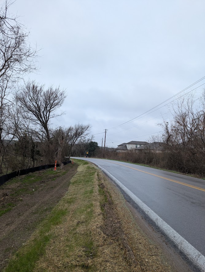
The Walnut Creek Park trails took us nearly to I-35 and then stopped abruptly. It’s this link between the East-West trails of Walnut Creek Park and the North-South Southern Walnut Creek Hike and Bike Trail, which is currently a dotted line on a government website. We had to go onto a series of sub-par surface streets which became increasingly rural and untenable. On the day that they complete the link, it will be amazing and worthy of a long bike ride to celebrate. Of particular note is Sprinkle Cutoff Road, which started off with a shoulder that was undergoing re-sodding. So half of it was muddy and sticky, and the other half of the shoulder was way too close to traffic. Further on, the shoulder disappears, and a pedestrian is faced with the prospect of walking in the road or through brush. The amount of trash on this stretch has to be seen to be believed. I would have taken a picture, but I was concentrating on not getting run over.
The prospects for a pedestrian improved on the south side of 290. Think wide sidewalks and occasional bike paths. There was a stretch of Springdale near the XTC Cabaret where we had to walk on grassy shoulders, but it wasn’t too bad. Zig-zagging through residential neighborhoods eventually got us to the Southern Walnut Creek Trail, about halfway down its length at the Loyola entrance. It would have been nice to start from the endpoint of the trail up at Lake Walter E. Long, but that would have added almost four miles to the route.
Due to the dreary weather we didn’t see many people on the trail. Usually it’s like a parade of cyclists and joggers. We did run into a group which took urban youths on outdoor adventures and chatted them up while they changed a bike tire.
Somewhere around here, my friend really started to show the effects of walking-induced pain. He described it as first his hips hurt, then his feet hurt, then his knees, and then it all went numb. We had to stop often in the hopes that his legs would self-repair.
My friend knew a shortcut which was new to me, the MoKan Trail, which slipped underneath Airport Blvd., and effortlessly linked us to the normally walkable East Side neighborhoods.
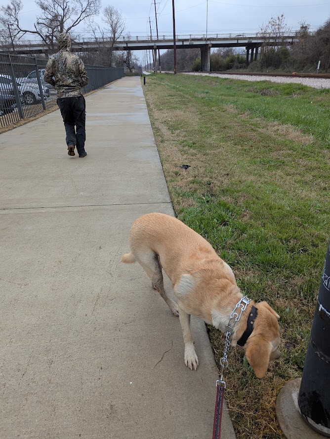
I don’t have many pics of the Boggy Creek Greenbelt, partially because I go there nearly every day, sometimes multiple times a day. If you want an example of how people will use pedestrian infrastructure if you build it, then just try to drive across the trail at 12th St. on any given Saturday. You’ll have to wait for dog-walkers, joggers, and assorted bicyclists for sure.
Having attained the halfway point, I ditched both my friend and my dog. The rest of the route I would have to finish alone, albeit entertained by an audio rendition of the Texas true crime book Blood and Money by Thomas Thompson.
I hiked through downtown Austin, and hopped onto the Shoal Creek Trail. I remember talking to a representative of the Shoal Creek Conservancy about the landslide that had blocked the trail. This must have been seven years ago. Well, the landslide is still there. It’s now dotted with new-growth sapplings, criss-crossed by deep foot paths, and the iron fence which slid down the hill is still where it came to a rest. In the past I had observed the “Trail Closed” signs and detoured around on the sidewalk, but this time I must have missed them, because I ended up just walking up and over the new hill that had slumped over the actual trail. It’s definitely doable.
I’ve been along the upper reaches of Shoal Creek Trail before. Above 38th St, there’s not much of an actual trail per se, but it is a lovely boulevard and easily traversed by bike. Memories of previous visits came back to me in nostalgic waves. I remembered biking along the boulevard and stopping to talk to three kids who were fishing in a tiny little creek pool. I asked them what they were catching, and they said perch, a bit of Texas regionalism that confused me at the time. I realized that I had seen them so long ago, that those kids had grown up and may even have kids of their own who might now be fishing in little creek pools themselves.
I detoured a bit to walk through the public-ish park areas of The Grove, which had not been there the last time I biked the trail. Meh, probably won’t be back anytime soon.
The wooded and serene character of Shoal Creek Trail disappears when you hit the strip-malls near Anderson Ln. The headwaters of the creek are a series of drainage ponds and swamps nestled into the crook between MoPac and Research. To get there, you have to navigate the sidewalks and unregulated crosswalks spanning the frontage road. With the tight angles of the Texas turnaround next to the train tracks, the visibility for the crosswalks is kinda sketch.
It was as I crossed beneath the highway that I felt the skin of my little toe slip free from my flesh. My tracking app said I had walked 33 miles that day, and I only had about three miles left to go. Would this blister be the injury that prevented me from finishing?Those last three miles suddenly seemed absurdly long. The sun had long since set. I was walking by the light of the city reflected off the rainbow sheen of a cold drizzle.
So I put on my wool socks and loosened up my laces and hoped that it wouldn’t be excruciatingly painful for every single step.
I had hoped to make some shortcuts that the Google Maps had ignored, if you’ll notice on the maps of this route there’s a sharp right turn just after Research Blvd. It turns out this is because the shortest path is blocked by the chain link fences of the J.J. Pickle Research center, and I didn’t feel like testing my luck by jumping them. Instead I took a jog to the east and walked up Burnet Road. I passed Q2 stadium right as they appeared to be celebrating the season opener. Police cars blinked their lights, voices in Spanish echoed through the stadium sound system, and right as I passed, fireworks slashed the sky.
Those last few miles took forever, but they did come to an end. My truck was waiting for me in the park parking lot. I got in and fired up the heater before driving home.
My big learning experience from this walk? My shoes were a half size too small for this. And that I was not too cool to resort to walking sticks if that meant my legs would be just a tad bit less knotted up.

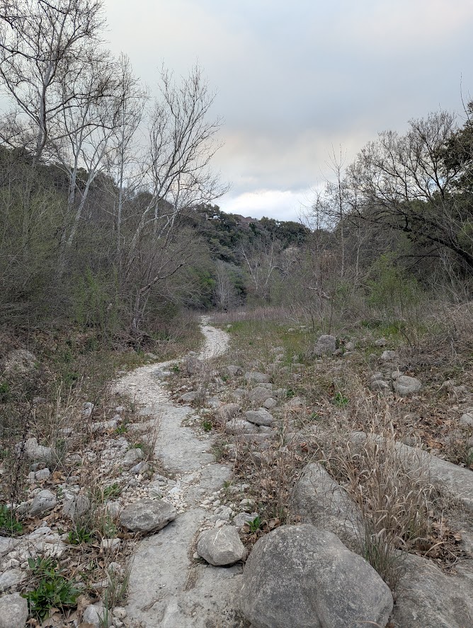
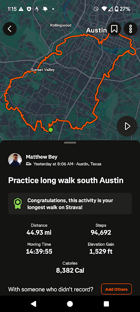
Big South Loop – 45 Miles, Mary Moore Searight Park, Onion Creek Greenbelt, Country Club Creek Greenbelt, Lance Armstrong Bikeway, Violet Crown Trail, The Veloway, Bauerle Ranch Park
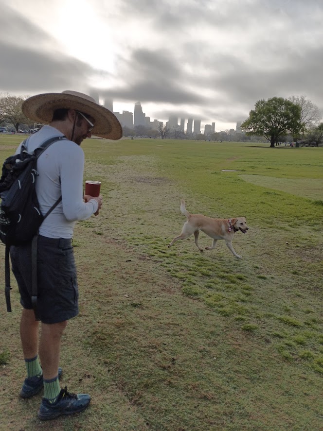
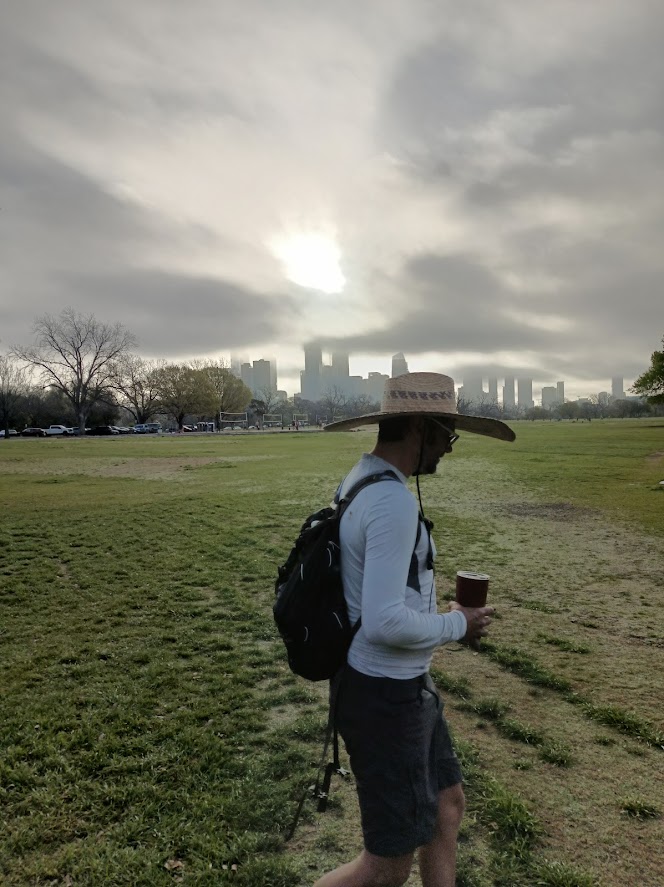
For various scheduling reasons, it was only me and Rosy on the longest route to date. For my third walk around Austin I would expand my first attempt that had gone through South Austin, tracing the greenways at the limits of human civilization (like all old Austinites, I assume human civilization ends at Ben White). The first spot I wanted to explore was Mary Moore Searight Park, a park I had seen on Google Maps many times (while hunting for likely fishing locations) but had never visited.
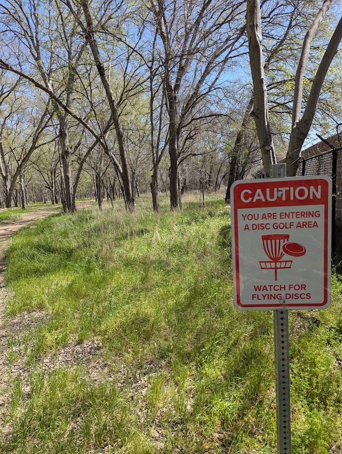
And yeah, this is a blockbuster park. I want to compare it to that giant park in Brooklyn that no one remembers. There’s a huge network of hiking trails, an off leash dog area, creeks and dams of various wetness, a model airplane landing strip, a bunch of normal park stuff, and the obligatory disc golf course.
We got a bit lost, it’s one of those parks where the trails are there for their meandering qualities and not their directness. But we got out of there on schedule, crossing I-35 along the uninspiring Slaughter Lane underpass, and then cruised down toward Onion Creek.
The first stretch of Onion Creek public land we passed through, the part between East Slaughter Lane and Bluff Springs Road looked on Google maps like a promising park. It was colored green and had the dotted lines of foot paths criss-crossing it. However, it had been completely inundated with dumped trash and homeless encampments. The hobos must have all been sleeping in, we didn’t see anyone, but as we proceeded down the path (there’s not that much of a choice, the alternative would have been walking down Brandt Road, which has no sidewalks or shoulders) a team of un-collared dogs came out to greet us. They barked and followed curiously, but Rosy and I walked fast until they were behind us.
The next section was one of the annoyingly pedestrian hostile sections. To get from Brandt Road to Nuckols Crossing Road, we had to cross Onion Creek along Bluff Springs Road. And this was another section with no shoulder, no sidewalk, and a fast speed limit. We crossed it by keeping a tight leash on Rosy and jogging when it seemed like there was a break in the traffic.
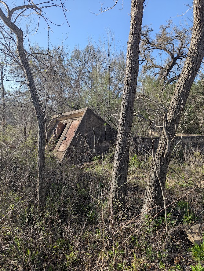
Soon, we found ourselves inside the Onion Creek park/greenway complex. I’ve been here before, to fish and to let the dog romp around off-leash. The fishing is mediocre at best, although there’s lot of creek to wade and explore. Then there’s also the spooky remains of the neighborhood which had been destroyed by flood and bought out by the government, so you have residential streets and utility boxes dotting a flood plain that has already gone back to a wild state. There was quite a lot of trail on the south side of the creek. It seemed pretty wild, but there were other walkers out there, taking their morning constitutionals. On the north side there was the normal romping of dogs and I let Rosy get in the water to keep herself cool.
Once out of the Onion Creek area, there was just boring sidewalks up to Ben White.
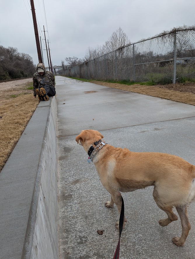
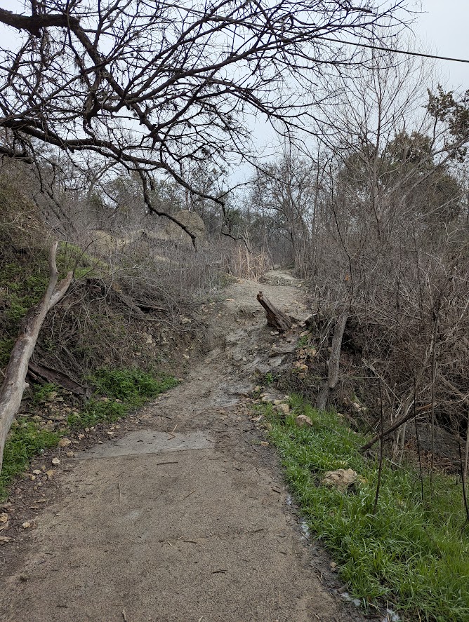
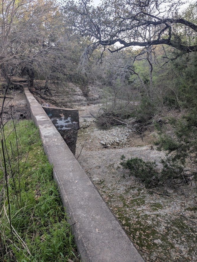
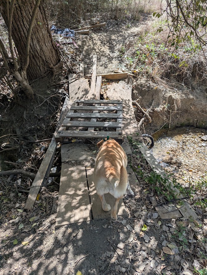
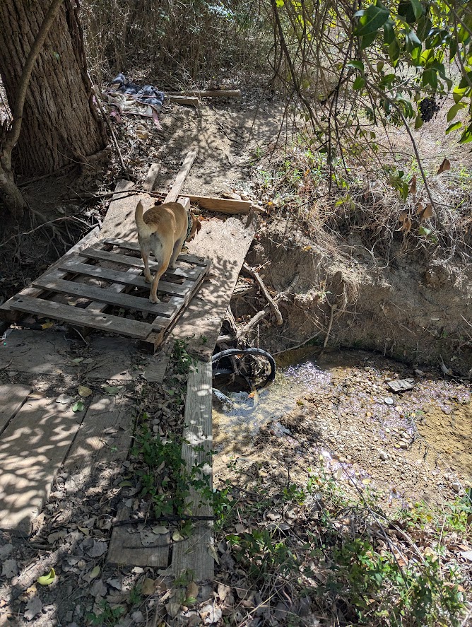
Across Ben White however, we took the secret bike path between Burleson and the dead end of Pleasant Valley. I’ve taken that shortcut perhaps several hundred times, as it was once on my daily bike commute. But not once had I taken the spur off that shortcut that leads into the Country Club Creek Greenbelt. I’d seen homeless people coming in and out of there many times, so I had just assumed it was wall-to-wall hobos in there. However, it was a delightful little trail, complete with a terrifying homemade bridge over a the headwaters of Country Club Creek. The dog, little more than seventy pounds, crossed it easily, and when I crossed it I kept my knees bent in case I had to leap free suddenly. Spoiler: I crossed safely!
The dog and I stopped at one of the convenience stores on Riverside because I had already finished all my water. This wouldn’t be a problem when I did my long walk in Germany, but in Austin at least, it gets hot pretty quick, even when it’s ostensibly spring.
Next stop, we cut through the disc golf course in Roy G. Guerrero Colorado River Metropolitan Park, the second disc golf course of the day! Then it was crossing Montopolis pedestrian bridge, yet again, an unavoidable gateway to the east side.
The dog, tired from twenty-plus miles and the heat, got left at home. Then I continued from there with refilled water bottles. At this point, as I had planned, I resorted to using the walking sticks, on the theory that if I got my arms involved it would mitigate some of the leg pain and aid in stability which might also lessen some of the leg pain. However, as it turns out, using walking sticks is just hellah dorky. How dorky is it, you might ask? Well, I was crossing into the Rainey Street neighborhood when a pedicabber with a customer passed me. This pedicabber had decorated his pedicab with an awning with some sort of Middle-Eastern themed dangles all over it. And when he saw me, he saluted me and shouted, “Hell yeah!”
Did I mention that I was doing this walk during the Saturday of SXSW? I passed a number of the coolest people in the world, standing in line for shows all throughout downtown Austin, and I drew many stares as I pumped my arms with the help of $89 REI-brand walking sticks.
From downtown Austin I crossed the Pfluger Pedestrian bridge, which is never not stuffed with people, and over to Zilker Park and the Barton Creek Greenbelt. My plan was to take the entirety of the mostly-completed Violet Crown Trail. I had taken a bit of it on the first walk (mostly accidentally) and it was fun enough that I wanted to experience more. The first stretch was just the Barton Creek Greenbelt that we’re all familiar with. I’ve hiked that many times before, including with my buddy S.G. Wilson on his birthday for the past two years.
But then the Violet Crown Trail splits off, heading into that strange hinterland where the highways converge in Southwest Austin. I did find the intended exit/entrance of the trail which I had missed the first time, next to the Specs. From there, I winged it a little. In the big-box store area around Brody, it’s a little unclear what’s the Violet Crown Trail and what’s just a particularly wide sidewalk next to a parking lot. I followed as many of the dotted lines on the Google Maps that I could, ducking into the other side of MoPac, through the shopping centers and past the Costco. There’s supposedly a cave entrance near here that I wanted to check out, but I missed it and I was no longer in any condition to backtrack.
Past the big shopping areas and the big parking lots, south of William Cannon, you can follow the Violet Crown Trail with ease. It’s got wide paths that follow MoPac and sometimes slide beneath it when there’s an elevated section of the road. Surprisingly, I saw no one on this path. Perhaps because the suburbanites all go inside once the sun starts to set.
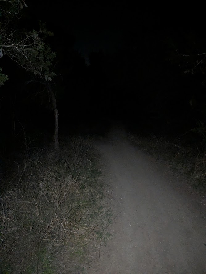
In the dark, I followed the Violet Crown Trail until it got to Davis Lane. And then it was completely unclear where the trail continued. Did I need to cross the road to the right or the left? Was there a trail entrance directly across the road from me? The direction I took was probably the wrong one. Let’s just say that the signage in this area leaves a lot to be desired. I ended up walking through narrow trails on a dark forest for about half a mile before I finally emerged behind a Wendy’s on Slaughter Lane.
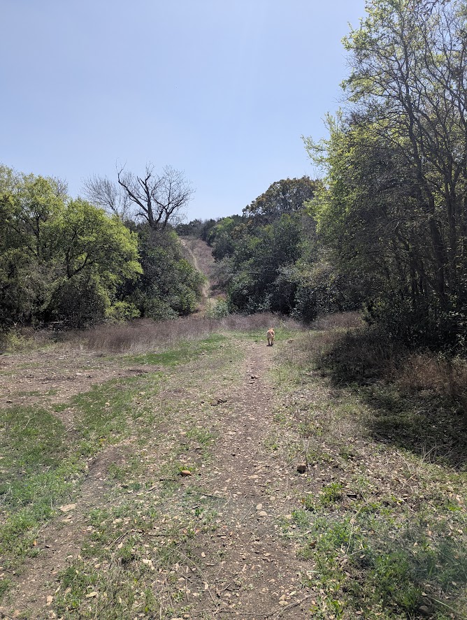
Crossing the road and entering a new greenspace behind a Walgreens, I entered into the maze of paths which surround the Veloway and the Lady Bird Johnson Wildflower Center. I broke from the Violet Crown Trail (if I was still on it, the signage was poor) and began the last leg of the walk, heading east toward where I parked the truck. Many times I had to consult the GPS on my phone to confirm that I had indeed followed the wrong trail. The next few miles were on the poorest paths, and in almost complete darkness. The walking sticks helped me a few times by catching me as I tripped on a stone and nearly toppled face-first into the forest. Once I realized that I had lost the path completely, because I was walking in ankle-deep leaves, so I had to backtrack by the light of the cellphone.
I can’t say I’m 100% certain I was walking on public property the entire time. For instance, Bauerle Ranch Park may or may not be a public park. I’ve certainly never heard anyone mention it, even though it’s a huge area in South Austin. I kinda want to walk through it again in the daylight to see what I missed. At least I didn’t see any no trespassing signs in the dark.
After crossing Menchaca Road, there were a series of trails which appeared as dotted lines on the map, but they didn’t have the green background of a park. I found myself lost from the trail several times. When I realized that I had wandered off course and I was surrounded by trash piles and homeless shanties, I fantasized about hobos leaping at me from out of the dark, screaming in zombie rage. In that terrifying fantasy the only respond I could think of was to look big and shout “I’m a monster!” Sometimes the best bluff is the simplest.
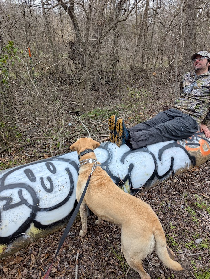
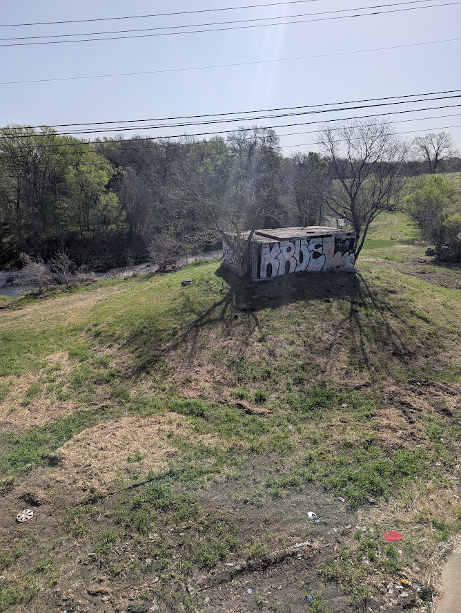
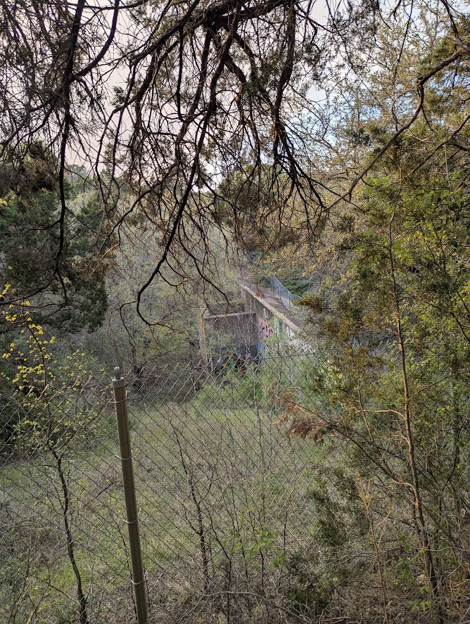
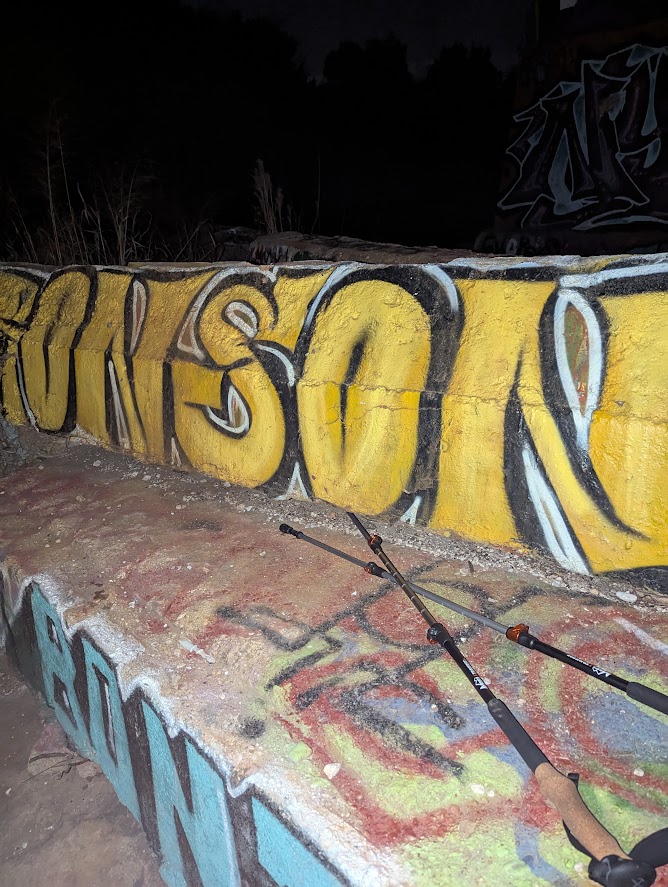
The trail system which Google Maps identifies as Canterbury Trails Neighborhood Park merged into the actual Missouri Pacific rail line, passing beneath an absurdly graffitied rail bridge. A trail ran next to it for nearly a mile, bringing me north of the origin of my walking loop. I thought I saw a break in the fence that lead to the street, a shortcut, but it turned out the whole lot was a fortified and fenced compound. I’m fairly certain that I got caught on someone’s security cam before I backtracked to the path. If you saw me on a Nextdoor.com post, let me know!
The last couple of miles were incredibly long. I had a bunch of blisters and my legs felt like ever ligament had twisted into kinks. It didn’t help that one of the housing developments had put up fences and gates along a street which I thought was accessible, forcing several block of detours which I wish I didn’t have to walk. But I did make it, getting home sometime after midnight after a long day of walking.
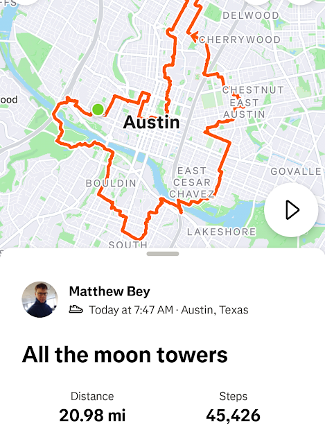
The Moon Tower Tour – 20 Miles
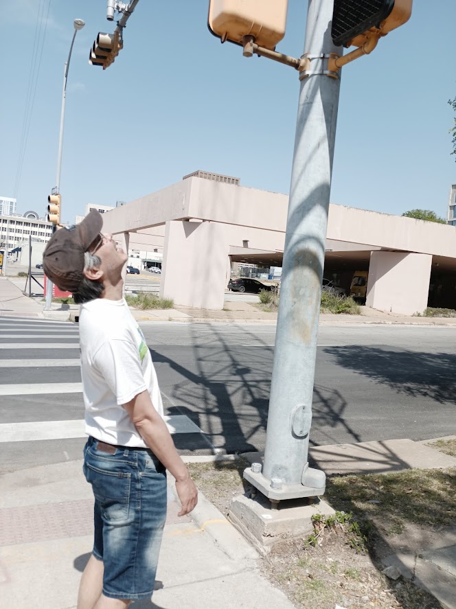
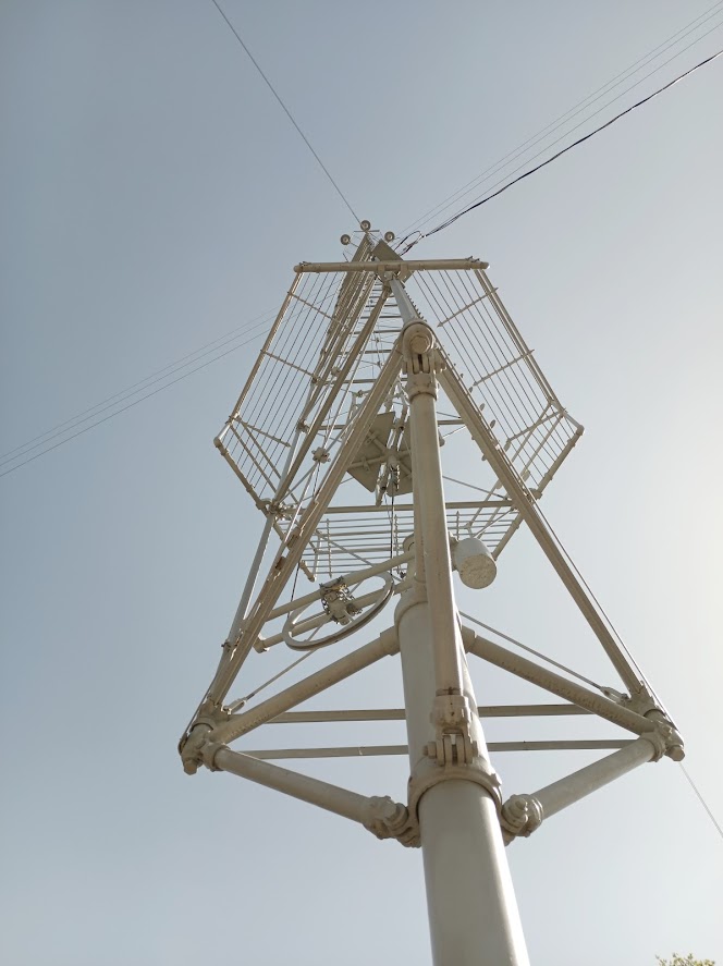
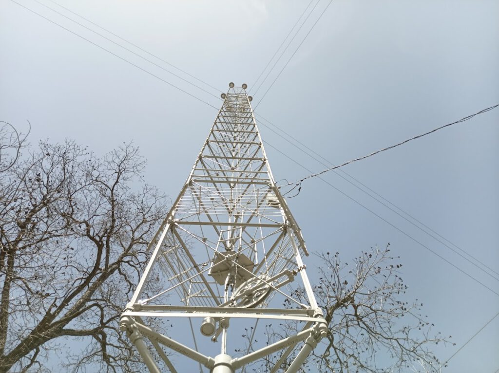
For my final walk, I decided to visit all the moontowers still standing. This would be a comparably short walk, and probably only the bare minimum necessary to test the pair of waterproof trail running shoes I had bought (the crossing of Onion Creek during the previous walk convinced me that I needed waterproof footwear for the Megamarsch). If you consider yourself a serious Austinite you should either walk or bike the whole moontower circuit. Most people do it at night when the towers are shining, but I decided to do it during the day when it was blazing hot, because I’m an idiot.
I was going to post pics of every single standing Austin moontower, and then I realized that to the untrained eye, they pretty much all look that same. So here’s a selection of highlights instead.
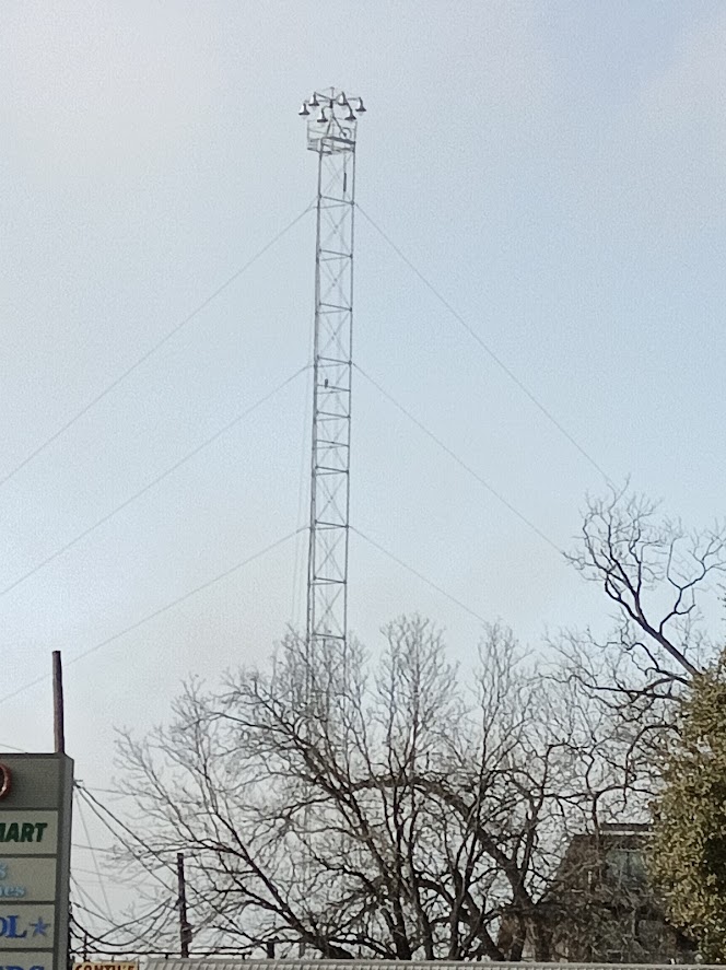
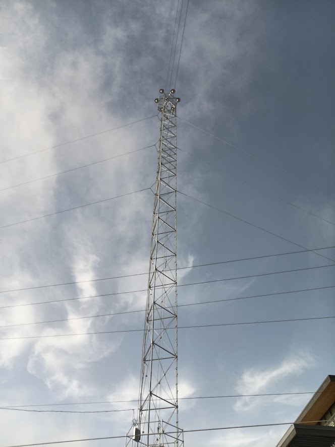
There isn’t that much to say about the route. Because the towers are mostly around the urban core, there wasn’t that much greenspace to use, and nearly every street had a reasonable sidewalk. The highlight was probably cutting through the Hemphill Creek greenspace on the way to cutting through the UT campus. Partially because of the heat and partially because I walked with a couple of slow buddies, I didn’t push the pace and took a long break at Thundercloud Subs before finishing up.
Conclusion
This was kinda a weird set of behaviors for me. Normally I would bike these kind of distances, which is a different way of approaching the terrain. If I was on a bike, I probably wouldn’t have been as concerned about a lot of the traffic which had otherwise seemed pretty threatening to a pedestrian. But there’s some good bones here. I would love to see a the big loop finished, and maybe some events which take advantage of this walking infrastructure. Definitely it would be great to see a more cohesive map of the Austin urban trail system.
To that end, if you want to walk or bike 100km around the Austin area, I’ve made a route for that! I probably won’t be doing that myself anytime soon, but I’d love to hear about it if you do.